

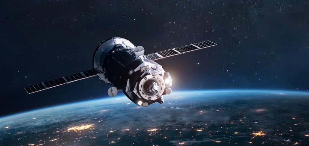
These days, the ability to view any part of the world at the touch of a finger seems like something out of a science fiction movie. However, with the advancement of satellite technology and the popularization of smartphones, this has become an affordable reality. Now anyone can obtain high-resolution satellite images of virtually any location on Earth.
Interest in satellite imagery is not just for geographers or map enthusiasts. Whether for monitoring environmental changes, planning trips or simply out of curiosity, these images provide a unique and broad perspective of our planet.
The Satellite Revolution in the Palm of Your Hand
As technology advances, the resolution and quality of satellite imagery on our mobile devices improves. We are no longer limited to seeing outdated or low-quality images. Instead, we have access to detailed views that were previously only available to government agencies or large corporations.
Google Earth
One of the most well-known platforms when it comes to satellite imagery, Google Earth not only provides detailed views of almost every corner of the world, it also allows users to take virtual tours, explore historic landmarks, and much more. With an intuitive user interface, it's a powerful tool for education and exploration.
Satellite Live
Satellite Live is another impressive app that offers real-time images directly from satellites. With broad global coverage, it is particularly useful for people interested in monitoring real-time events, such as weather phenomena or large gatherings.
Zoom Earth
This application stands out for its ability to present satellite images in almost real time, with just a few hours of delay. Zoom Earth is often used by journalists and researchers to obtain up-to-date visuals of regions of interest.
TerraServer
TerraServer is an excellent tool for professionals who need high-resolution satellite images for research purposes or specific projects. It offers a variety of image options and has a vast library to choose from.
NASA Worldview
Coming directly from the world's best-known space agency, NASA Worldview gives you access to images captured by different NASA satellites. This app allows users to explore natural phenomena, weather events, and more, all with NASA's signature quality.
Conclusion
Exploring the world through satellite images is a fascinating and educational experience. Thanks to technological advances and the popularity of smartphones, it has never been easier to have a detailed global view at our fingertips. Whether you're a geography enthusiast, a travel planner, or just someone curious about the world around us, the apps above offer a unique window into our vast and beautiful planet.